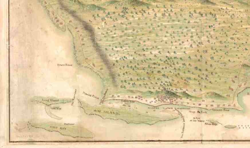
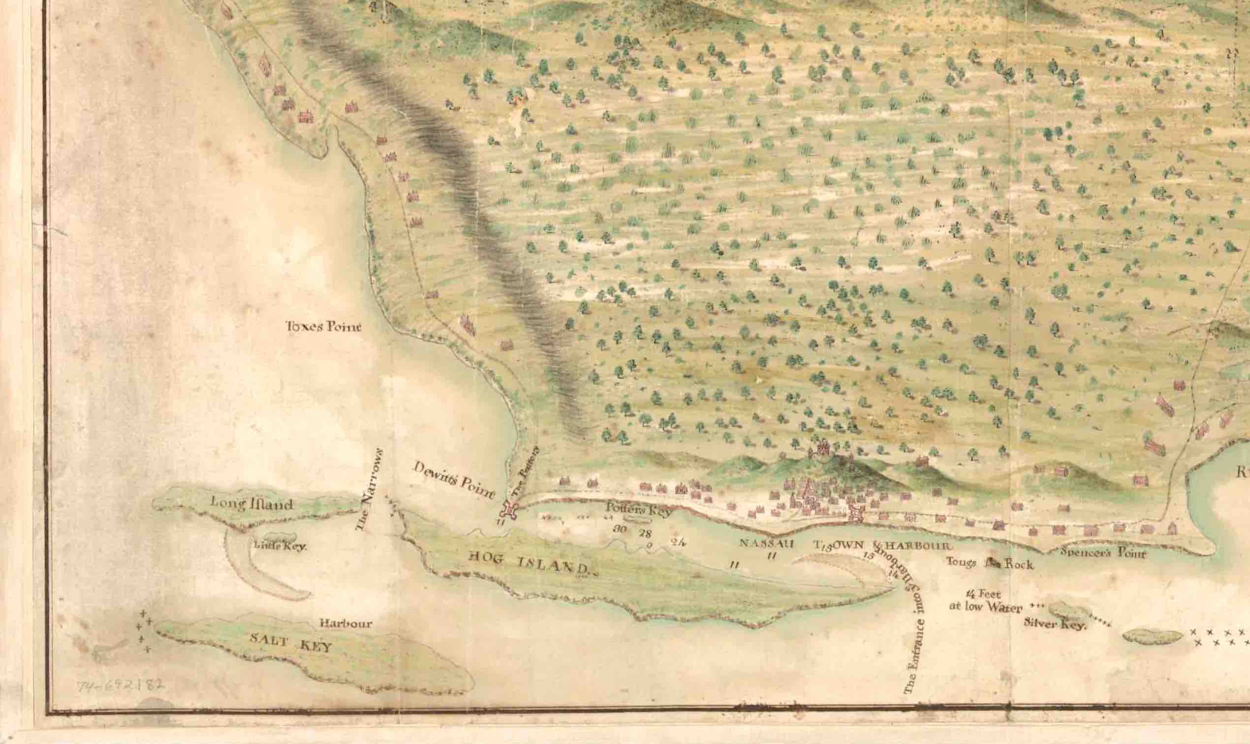
new-providence-c18-map-part-2 Published December 9, 2016 at 2540 × 1511 in WHEN NEW PROVIDENCE WAS OLD: MAPPING BAHAMAS HISTORY ← Previous Next →

