SCENE FROM BELOW: ‘SURFACE TENSION’


Surface to air: underwater images of Abaco sky (Keith Salvesen)

SCENE FROM BELOW: ‘SURFACE TENSION’

When I first got a GoPro, I made a mistake. What I really needed was a GoAm. My level of sophistication in Camera-world lines up just above the ‘incompetent’ mark. So, in taking footage of a partial sperm whale skeleton on the sea floor in Abaco last week, I have found several total duds – as if I have confused the ‘take’ button with the ‘on-off’ button. Indeed, as I obviously did. 

Surface to air: underwater images of Abaco sky (Keith Salvesen)

These photographic deficiencies are matched by my well-documented feeble swimming skills that improve only slightly with a snorkel and mask. And I am not legally permitted within 25 metres of Scuba equipment in all but landlocked countries.

Surface to air: underwater images of Abaco sky (Keith Salvesen)

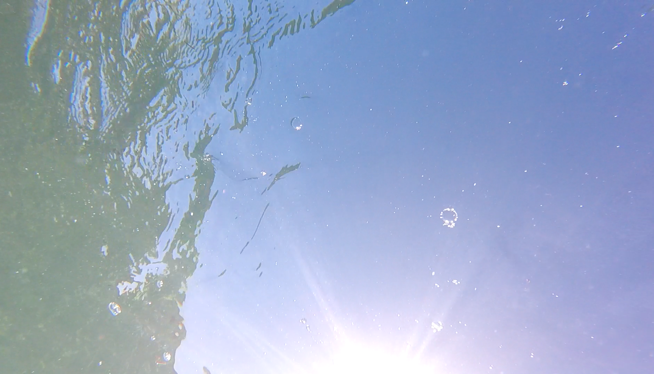
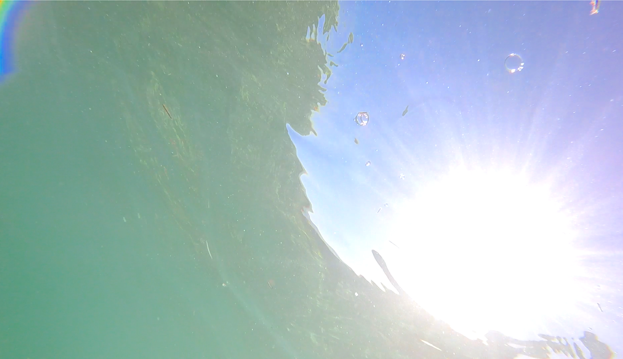
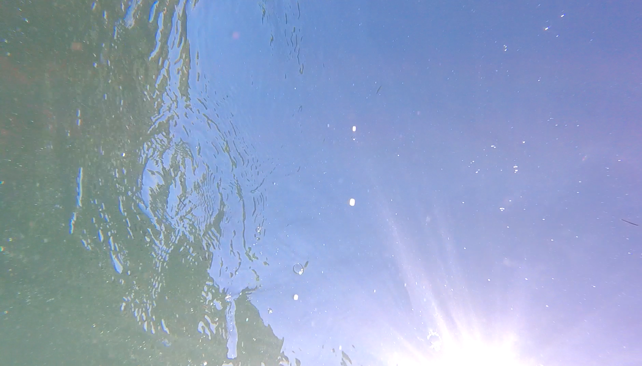
The footage of the whale skeleton worked out quite well in the end, considering the directional uncertainties caused by my swimming technique. In trimming the ends, I found I had taken quite a lot of underwater footage directed upwards to the surface rather than downwards on the cetacean remains. Probably, I was gasping for air.

Surface to air: underwater images of Abaco sky (Keith Salvesen)

I’m not sure that any of these stills count as photography at all. But as my finger hovered over the trashcan sign, it crossed my mind that there was (possibly) a strange beauty in these random outtakes. So I clipped and cropped to see how that might work. I wait to see the feedback (if any). If my number of followers drops below 50%, I will have to delete the dross swiftly, with due apologies.

Surface to air: underwater images of Abaco sky (Keith Salvesen)

I’ll be posting the story behind the sperm whale skeleton in due course. Meanwhile, these clips are an interim curiosity. And that’s probably putting it at its highest…

All photos taken at Sandy Point, Abaco Bahamas – Keith Salvesen / Rolling Harbour

Surface to air: underwater images of Abaco sky (Keith Salvesen)

“ABACO ART” aka SAND & WATER AT CASUARINA…


Ferry Wake Abaco

“ABACO ART” aka SAND & WATER AT CASUARINA…

What is art? *loud reader yawn* I suspect we all know it when we see it; and know instinctively when something violently overpraised and vastly overhyped has failed to shake off a strong impression of ‘utter tosh’, ‘money for old rope’ or ‘one-trick pony’. We all have inbuilt settings for “I may not know much about art but I know what I like” and “a child of 3 could have done that”. It’s just that our individual settings are all different. But secretly (go on, admit it) we all know that ours are the correct and appropriate ones…

With that in mind here are some sandy puddles I photographed on glorious day when we were idly looking for SAND DOLLARS on a sand bar at Casuarina. I don’t suppose they amount to anything, but I’ll soon know from my stats what people think of these abstract patterns. And I have a powerful delete button if this post bombs… If not I see scope here for a line of T-shirts, mugs, key rings  stickers and … mouse mats? Does anyone still use those?Sand & Water Abstacts on Abaco 15 Sand & Water Abstacts on Abaco 14 Sand & Water Abstacts on Abaco 13 Sand & Water Abstacts on Abaco 12 Sand & Water Abstacts on Abaco 11 Sand & Water Abstacts on Abaco 10 Sand & Water Abstacts on Abaco 9 Sand & Water Abstacts on Abaco 7 Sand & Water Abstacts on Abaco 6 Sand & Water Abstacts on Abaco 5 Sand & Water Abstacts on Abaco 4 Sand & Water Abstacts on Abaco 3 Sand & Water Abstacts on Abaco 2 Sand & Water Abstacts on Abaco 1[The header picture is the wake of the ferry from Hope Town to Marsh Harbour. Or as I prefer to call it, “Aquatextural Modifications III”]

BAHAMAS SATELLITE VIEW: 50 SHADES OF BLUE…


Wildcat MapBahamas-Satellite

BAHAMAS SATELLITE VIEW: 50 SHADES OF BLUE…

I’ve come across this dramatic view from space in several places online. I’ve recently been examining the shallows and underwater canyons of the Bahamas group of islands, and this NASA / ISSS map  perfectly illustrates, with natural colour shading, the greatly contrasting sea depths of the region. It also shows the extent of the long protective reefs, and clearly reveals underwater ‘high ground’ and ridges. There’s an almost abstract beauty about it, too, that’s worth sharing…

Bahamas Satellite Map (Wildcat)