
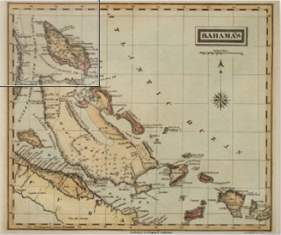
Bahamas Map – Van Keulen – 1728
MAPPING ABACO: READ A NOVEL, TALK RUBBISH OR DISAPPEAR
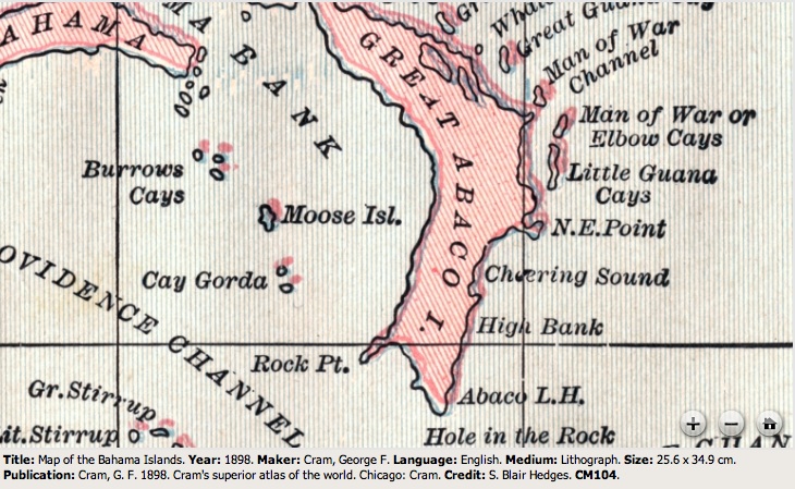
I am probably the last person to twig the topological significance of Abaco’s location in the world. An email tipping me off about a TV programme led me to investigate further. There turn out to be 3 ways in which Abaco’s position in the Atlantic Ocean is of special interest. Two are geographic fact; and one is located in the grey area between myth and putative evidence-based supposition (if such a nebulous concept exists…). If everyone knew this already, sorry for being so late into the game. But you get some nice maps to look at, gratis, like the wonderful van Keulen map of 1728 above. About the only marked location on Abaco is ‘Hole Rok’ (now ‘GAP ROK’). For a history of Hole-in-the-Wall in historic maps, click HERE
1. THE DISAPPEARING TRICK?
Until the recent email, I hadn’t taken on board that Abaco is within the Bermuda Triangle. The island and its cays are contained snugly into the 60º tip of the western angle of an equilateral triangle based on Bermuda, Miami and Puerto Rico. The NOAA map below could not be clearer: Abaco is squarely within the triangle, if that is geometrically possible.

I wrestled with whether to write an earnest discourse along the lines “Towards a Greater Understanding of Triangle Phenomenology”. Then I thought, Nah! If it’s a myth, what’s the point in examining its credibility. If it’s all true, I would’t want to worry you more than I already have by mentioning it… So you can do the hard graft if you wish by checking out the links below. Or you can just move on to section 2. Or relax in the sun, go fishing, find some nice birds, or have a Kalik or 3.
THE WIKI ANGLE Excellent potted overview dealing with supposed position, the main ‘unexplained disappearances’, and the possible causes of these – both natural and supernatural. Frankly, this should do it for all but the most persistent, who probably are more widely informed already.
SCIENCE CHANNEL The top ten Bermuda Triangle theories. Note: may not include your own pet theory of aliens from Planet Tharkron with their Pukotic Missile Rays
HISTORY.COM Comes complete with spooky-music video presentation. NB blurb nails its colours to the mast by using words like ‘Mythical’ and ‘Fanciful’ so if you are a believer you won’t want to go here, I suspect.
TEN WEIRD FACTS An informative video for those who want a bit more sensation.
2. WHAT A LOAD OF RUBBISH

Rowing through the Great Atlantic Garbage Patch (sandiego.surfrider)
Abaco also finds itself at the western edge of the Northern Atlantic Gyre. Strictly speaking the Gyre comprises a combination of four main currents: the Gulf Stream in the west, the North Atlantic Current in the north, the Canary Current in the east, and the Atlantic North Equatorial Current in the south. It is not synonymous with the infamous North Atlantic Garbage Patch, which is contained within the geographical boundaries of the Gyre. The top image gives a broad-brush idea of the central area of concentration of the Garbage Patch within the Gyre. Abaco looks to be well clear of trouble. But don’t be too optimistic.

North Atlantic Garbage Patch (12Degreesoffreedom)
Looking at various sources, there is some variation in the precise boundaries of the Gyre, though Abaco is plainly within it. Q: is it safely beyond the edges of the plastic peril? A: as any resident will know, the naturally pristine beaches tell a tale of constant plastic and other debris brought in on the high tide almost daily. The incidence depends to an extent on weather and wind direction, but the overall picture is of a relentless intrusion of rubbish on golden and white sand expanses. There is an extent to which what the tide giveth, the tide taketh away; and of course many beaches are scrupulously kept clean. NB I’m not trying to propagate anti-visitor publicity – many people will have experienced the same situation elsewhere.

North Atlantic Gyre Garbage Patch (wired.com)
The research map above shows that, although the garbage hotspots and warmspots are well away from Abaco, the ever-widening circulating soup of plastic, rubber and metal has reached the island. Abaco is in the pale blue zone. Yellow is not that far off. Imagine what the orange or red areas must be like. This sort of thing:

In some places the junk stacks up to form islands with hills

Texas has become a standard ‘unit’ for large area comparisons. I notice that several sources describe the main area of the NA Garbage Patch in terms of Texas. But how big is that (BIG!)? To get an idea, I created a map overlaying Texas on an area centred on the Bahamas. So, Texas is this big…

I’ve got more about some very specific rubbish to discuss another time, so I’ll leave you with the most interesting piece of marine debris to wash up on the Delphi Beach, a 12 ft ROCKET FAIRING from the Mars ‘Curiosity’ launch! Click link for more details. 
3. A NOVEL PLACE TO BE?
The Sargasso Sea is named for the SARGASSUM seaweed found in large concentrations in the area. Columbus was the first person to sail right across the Sea, in 1492 (well, he and the crews of his 3 ships Niña, Pinta, and Santa Maria). He noted the large areas of seaweed that his expedition’s ships had to plough through. Eventually he made landfall on San Salvador, Bahamas.
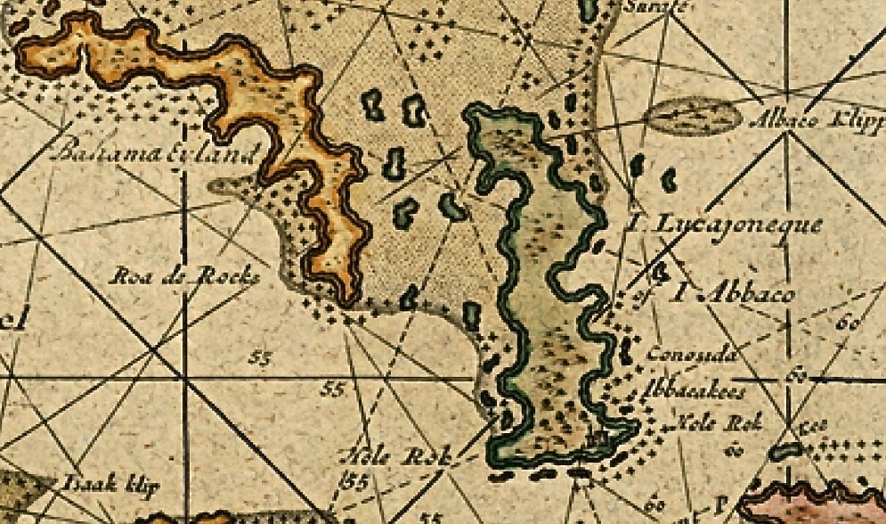
This fine Krümmel map from 1891 shows the extent of the sea, and you’ll see that its western fringes reach the ocean side of Abaco. Have you seen the seaweed pictured below the map? That’s Sargassum.

Sargasso See Map – Krummel -1891

- Jean Rhys’s famous 1966 novel ‘The Wide Sargasso Sea’ is actually set in Jamaica (nb the Sea is mentioned!)
- The Sargasso is the only ‘Sea’ to have no land boundary, being entirely in the Atlantic Ocean
- It is vital to mass migrations of eels, where they lay their eggs
- Young loggerhead turtles are believed to head for the Sea for seaweed protection while they grow
- Much of the debris trapped in the NA Garbage Patch is in the Sargasso, and is non-biodegradable plastic
- The Sea is protected by Commission established in 2014 involving at present 5 countries, including (unbelievably) Monaco, the second smallest country in the world at 0.75 sq miles. Green Turtle Cay is about twice the area!
- Cultural references include the track “Wide Sargasso Sea” on Stevie Nick’s “In Your Dreams” (2011)
- There are loads of other literary & musical references but I lost the will to pursue them when I saw the inclusion of ‘Dungeons & Dragons’
If you want to find out more about Jean Rhys’s novel, read it or click HERE

MUSICAL DIGRESSION
While writing this post I have had a song thrumming annoyingly inside my head. It’s ‘Bermuda Triangle’, with its coyly rhyming ‘look at it from my angle’. Now it’ll be inside your head too! I couldn’t remember who it sang it. Rupert Holmes? No, that was the egregious “Escape (The Piña Colada Song)” (1979). Ah yes. Barry Manilow. Bazza Mazza. The Bazzman. As you’ve finished with the maps etc, here’s a musical memory with a counterbalance of the Stevie Nicks song mentioned earlier…
Those cover the Triangle and the Sargasso; what of the Garbage? Try some Fresh Garbage from Spirit…
OPTIONAL MUSICAL NOTES Randy California’s fingerpicked intro to ‘TAURUS‘ is remarkably similar to the later, far more famous guitar work of Jimmy Page’s intro to ‘STAIRWAY TO HEAVEN‘. And Spirit happened to tour with the early Led Zep. Legal action was commenced last year for copyright infringement, as yet unresolved… You be the Judge!
Credits: As credited above; open source; NOAA; mail.colonial; telegraph.co.uk; Sandy Walker; Bogdan Giușcă, Youtube self-credited; Wiki; Random Researches and Magpie Map & Fact pickings


You must be logged in to post a comment.