
A LIGHT EXTINGUISHED: LITTLE HARBOUR LIGHTHOUSE REVISITED
This article was written before Dorian and I don’t know the state of this lighthouse now. If some of it still exists, this is its previous state. If not, this is a record of what has been and is now gone.
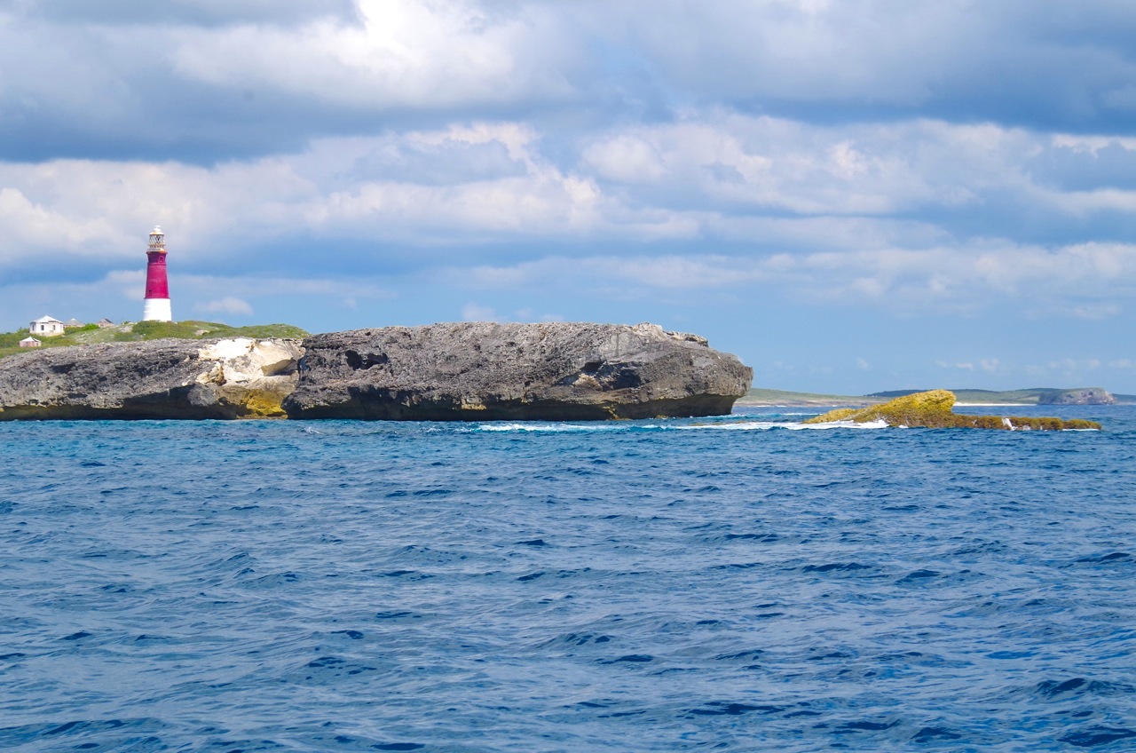
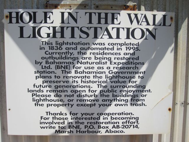
The words ‘Abaco Lighthouse’ are near-synonymous with the splendid striped edifice in Hope Town, Elbow Cay. This beloved building is truly iconic, in the modern sense of the word (see HERE). But it would not do to forget the other principal lighthouse of Abaco at Hole-in-the-Wall, also with its original Fresnel lenses (see HERE for a post written ages ago).

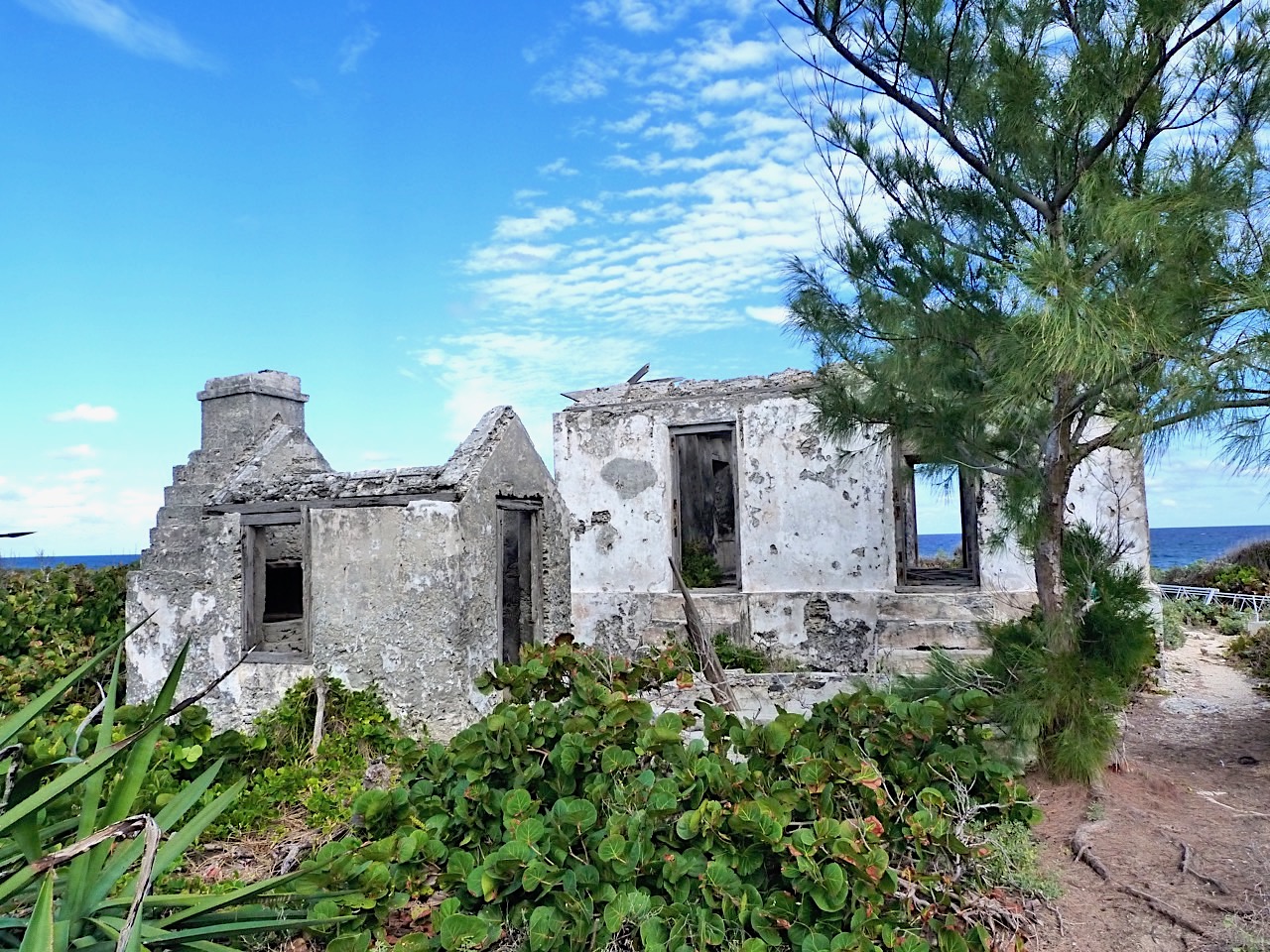
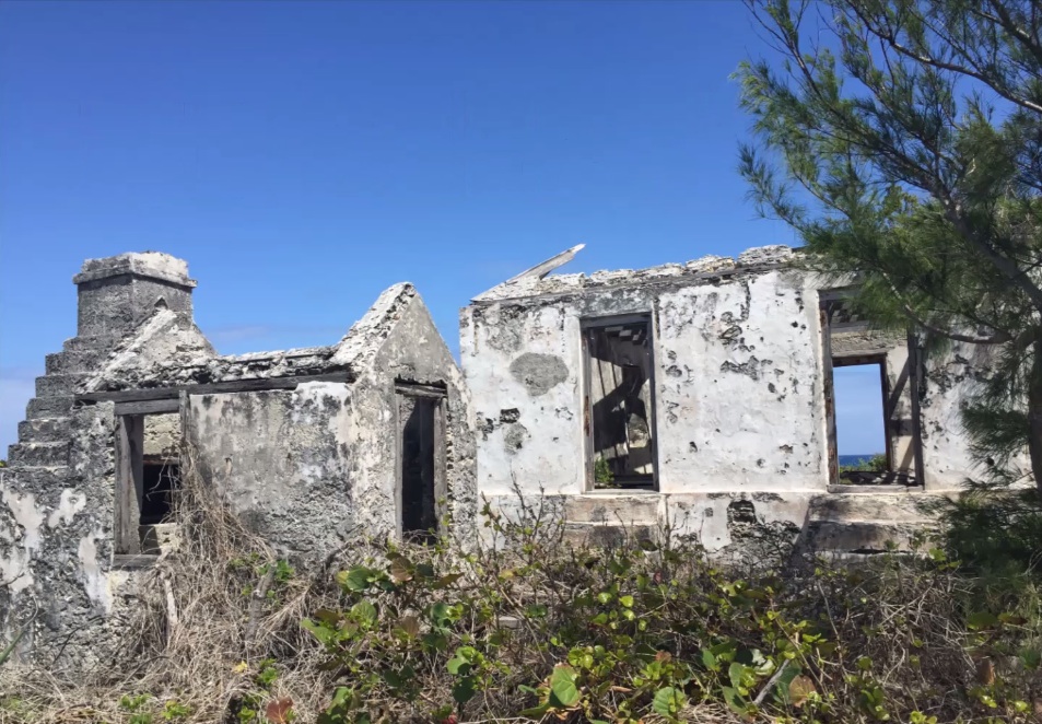
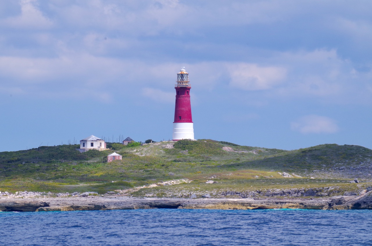
However, there’s a third lighthouse on Abaco. The small light at Little Harbour is, in contrast to the other two beacons, relatively unknown, unvisited, and unloved. Derelict, in fact, and a sad relic on its lonely promontory. Recently we prised ourselves away from the delights of Pete’s Pub and found the start of the overgrown track to the light. There’s a wooden sign that helps to locate the path.
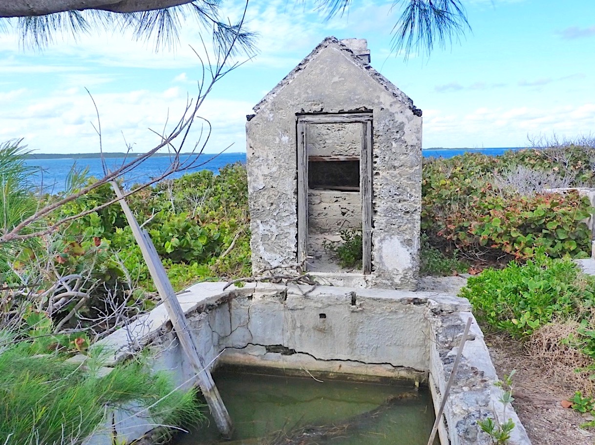
This small lighthouse station – “The Old Lighthouse” – was established in 1889 close to the entrance to Little Harbour. Originally, it was manned, with the first lighthouse keeper and his wife being the only inhabitants of that part of Little Harbour. The light presumably served to guide shipping to the channel leading to the secluded and safe harbour.


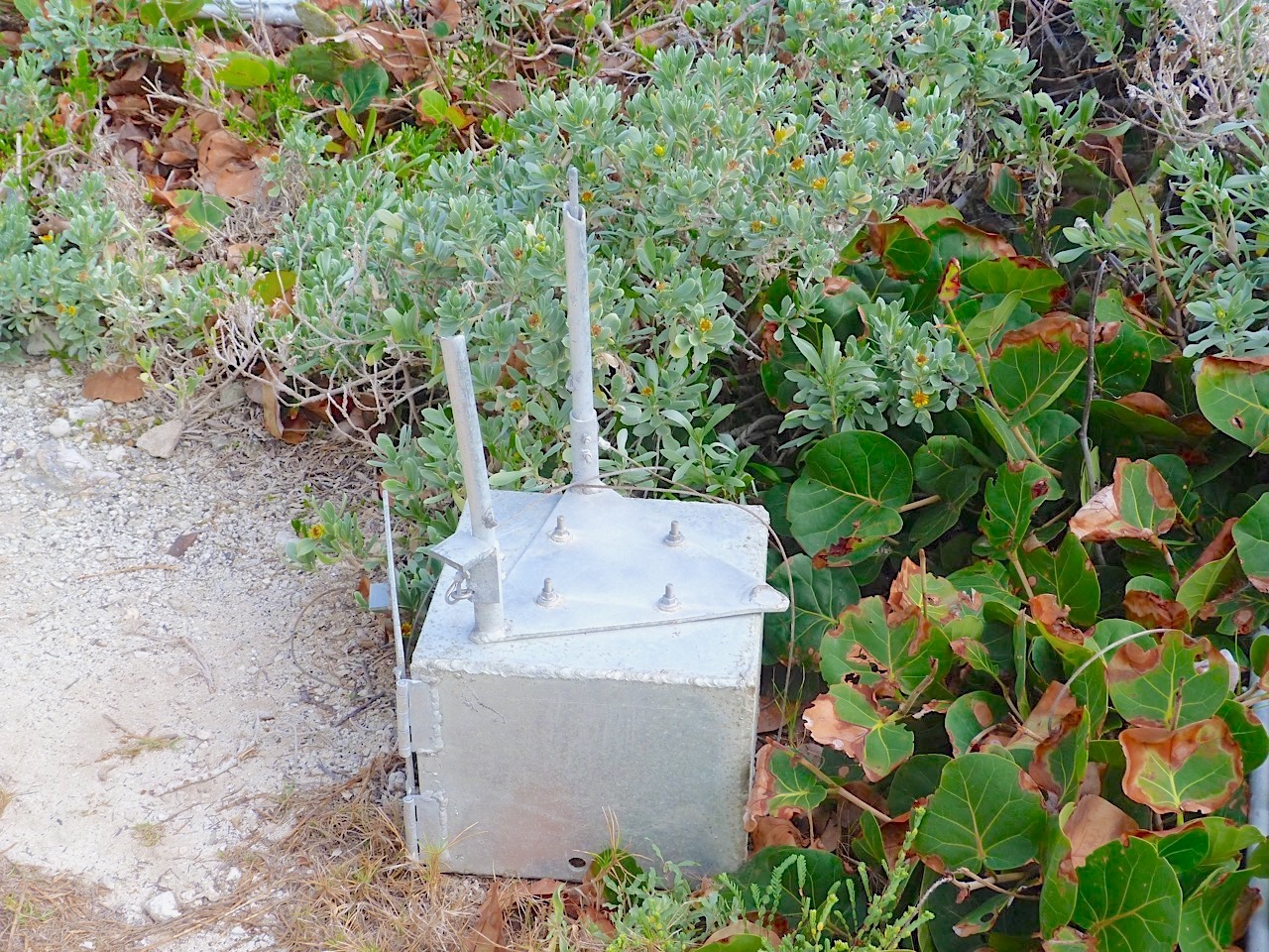
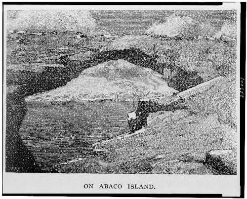
In due course the living quarters fell into dereliction and the existing beacon fixed on a small tower, later converted to a solar-powered light. This arrangement did not survive the devastation of Hurricane Floyd in 1999. The replacement was a modern steel framework tower that carried an active light until eventually it was blown over by Hurricane Sandy in October 2012. Sandy was also the hurricane that destroyed forever the rock ‘hole’ – an important navigation mark for centuries – that gave Hole-in-the-Wall its distinctive name (see HERE and links).


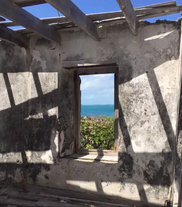
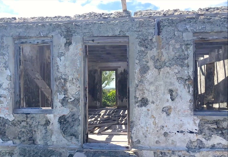
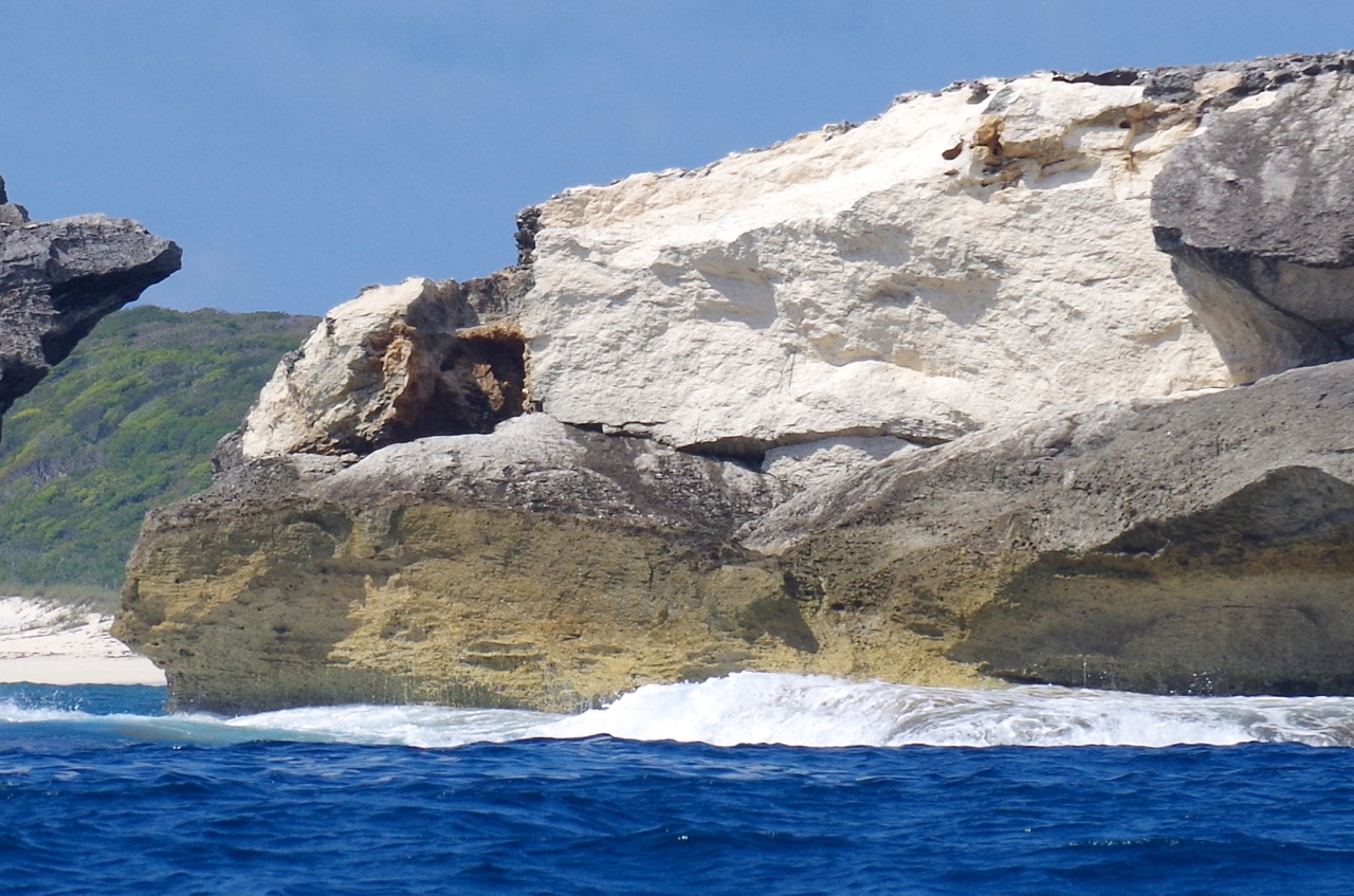
The views from the elevated position of the ruin are spectacular, both from the outside and from inside. In good weather, anyway… It remains to be seen whether the lonely light is now considered completely redundant, or whether another automatic light will in the end be positioned here when funds or willpower permit. I’m not aware of any groundswell of opinion suggesting that, in the absence of a beacon at Little Harbour, there is a potential safety issue.
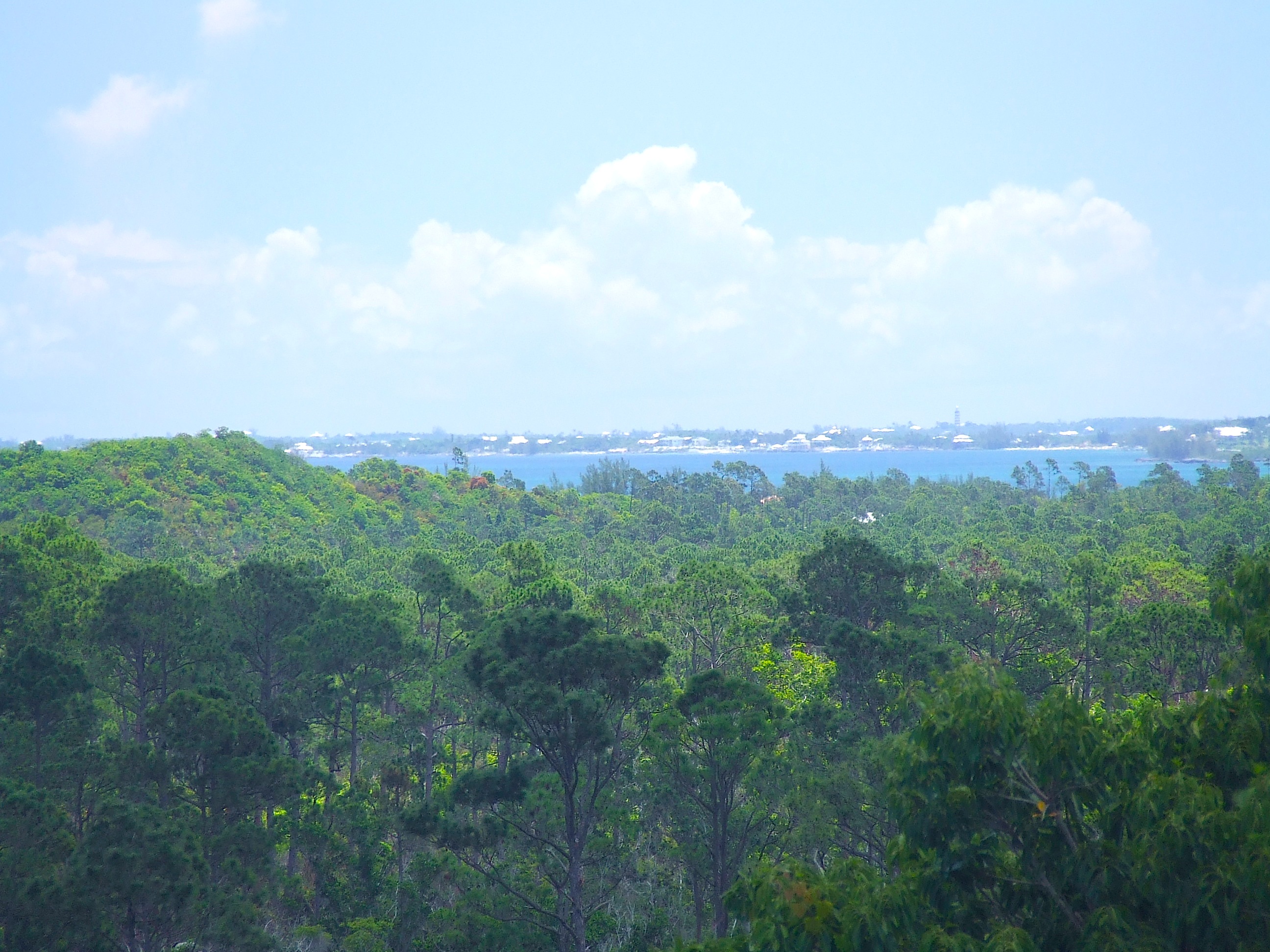
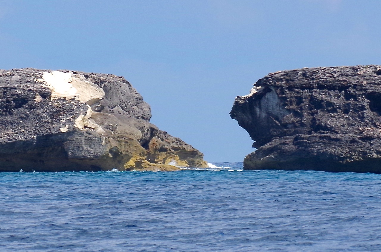
The view north from the light to the tip of the promontory
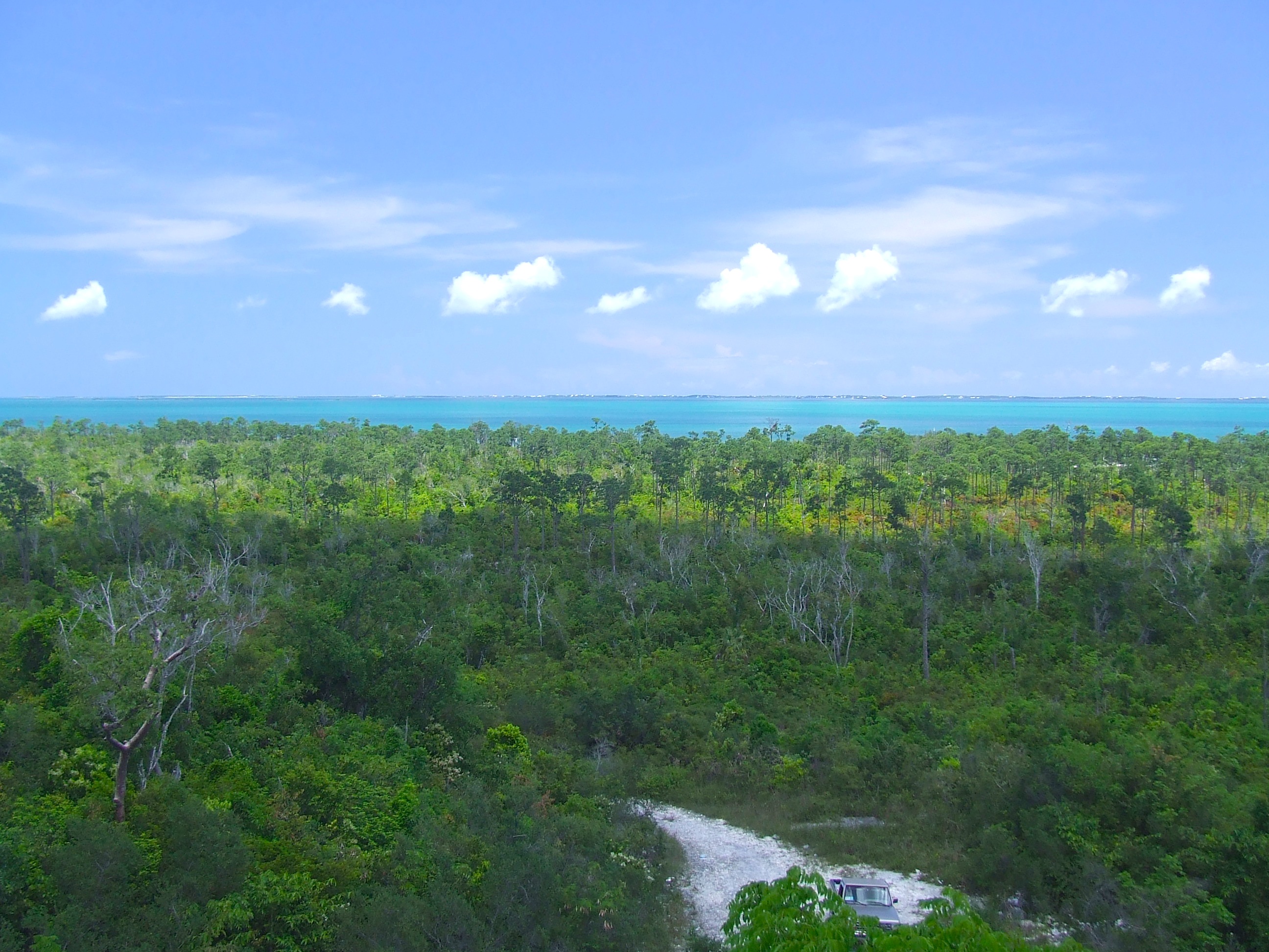
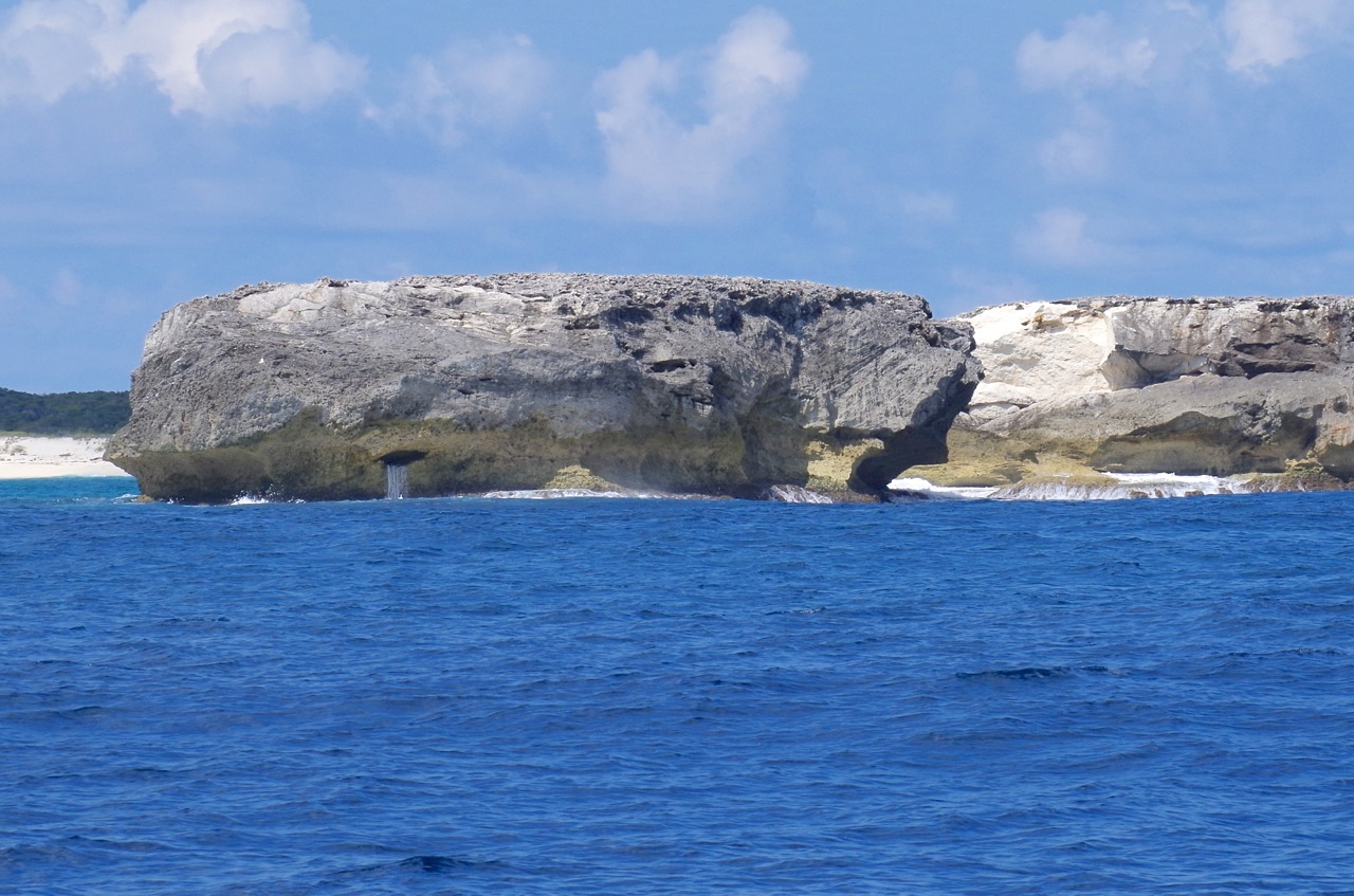
The view roughly south past the fallen tower towards Cherokee
Over time, I have been contacted by people with family associations to previous keepers; and with personal experiences of life there. One or two Americans have wanted to track newly discovered family connections to the light, and even possible relatives. I have the makings of ‘Lighthouse Family’ tree. When I originally wrote about the light, Chuck Rickey contacted me with his story, which gives a wonderful insight into the history of the light and its hardy occupants:
“My grandmother’s first cousin, Curtis Lowe, was lighthouse keeper here for many years and along with his wife, Bessie, raised children Hartley, Maitland, Lois and Robert, obtaining staples buy walking a tract road or sailing to Cherokee Sound. Later on, they were able to motor to Snake Cay, to get provisions from Owens Illinois’ company store aboard the “Robert Fulton”, an old side-wheel steamer, permanently moored there. I was fortunate to spend much fun time there during school vacations growing up”.
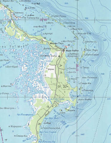
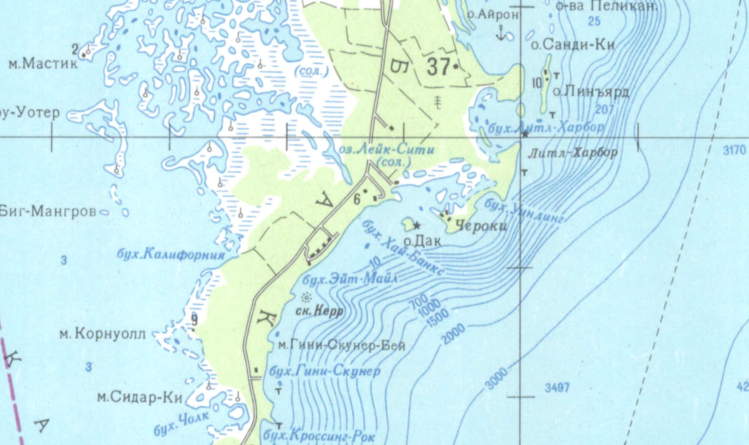
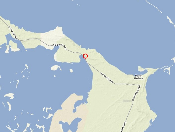
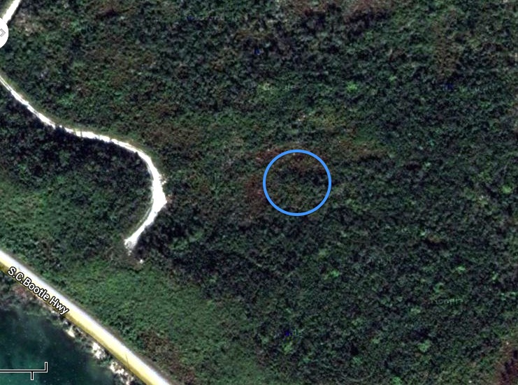
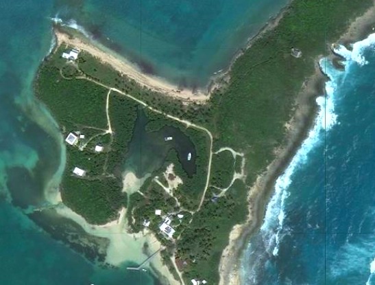
WHEREABOUTS IN LITTLE HARBOUR IS WAS THE LIGHTHOUSE


RELATED POSTS
ELBOW REEF LIGHTHOUSE: A BEACON ICON
HOLE-IN-THE-WALL: HISTORY, SHIPS AND MAPS

Credits: all photos Keith Salvesen except the last, Darlene Chisholm. Also, with many thanks to Sandy Estabrook.

Logo of the World Lighthouse Society


 Pine Warbler


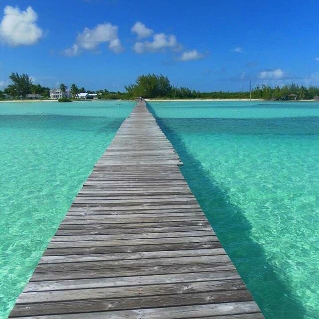
 Until a few decades ago, the only way into Cherokee Sound was by sea. And given the shallow waters surrounding the settlement, an extended pier was a necessity. These days, with a paved road connecting Cherokee to the rest of the Abaco mainland, the dock functions primarily as a tourist attraction.


You must be logged in to post a comment.